Site Description
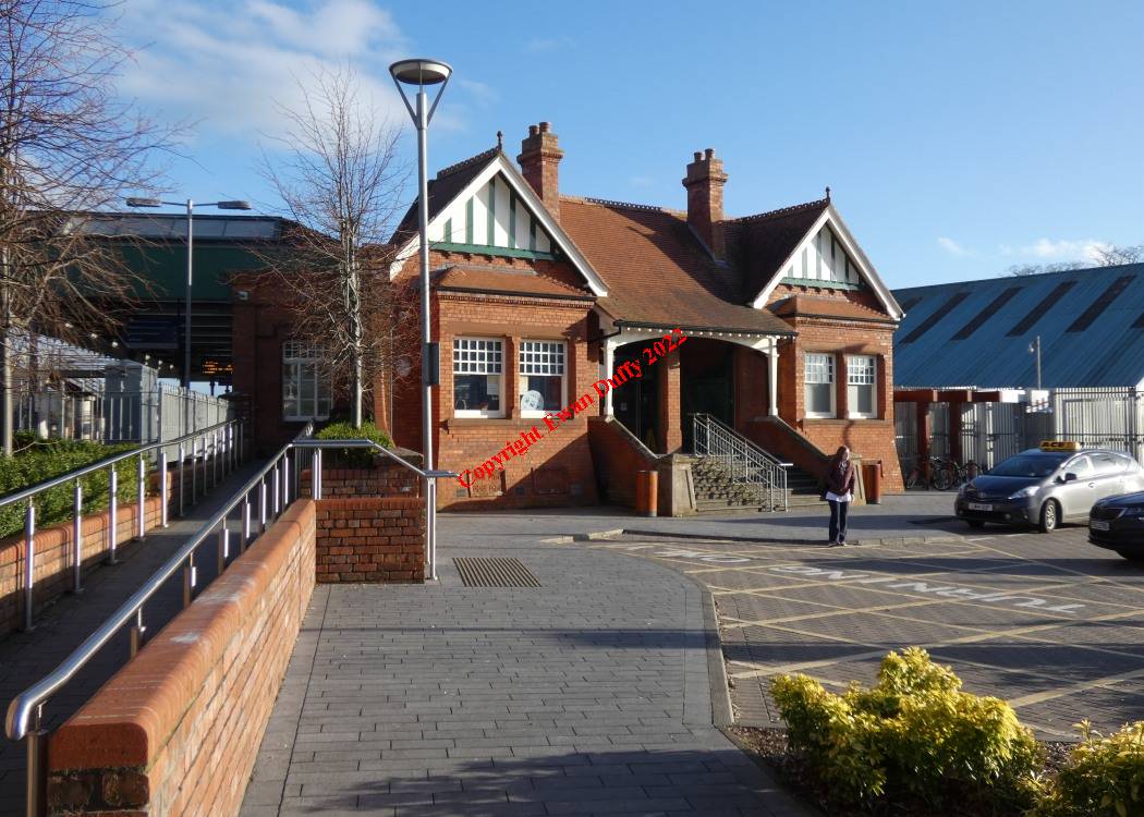
Approaching Antrim from the disused Lisburn branch, Lough Neagh, the largest lake in Ireland, can be seen on the Down side. Until 1958, this was a joint GNRB/ UTA station, these two bodies having taken over from the GNR(I) and the NCC respectively. The former GNR(I) goods area which contained an engine shed and turntable is now an Ulsterbus Depot. The bay platform on the Down side gives access to the Lisburn branch, which trails in on this side as well. There is a sharp left hand bend approaching the station from this, off which, there are two sidings on the Down side. On the Up side, there is a disused siding. There was formerly a high loading bank and water tower, formerly LMS(NCC) property. This area is now occupied by a car park. There is a level crossing at the Derry end of the station, beside which, is the disused signal cabin. The station building is on the Down platform at the same end. This platform and the former GNR(I) bay platform at Antrim were rebuilt in 1991. The Up platform was also brought back into use. A ramp acessible fotbridge connects the platforms. Interestingly, the 18 milepost from Knockmore Junction and the 21 from Belfast York Road are on the same post on the Down platform.Photographs
Photo Gallery - Antrim Station
Google Street View - Antrim Station
Geograph.ie - Antrim Station (Link checked 19072021)
Geograph.ie - Antrim Station (Link checked 19072021)
Geograph.ie - Antrim Station (Link checked 19072021)
Geograph.ie - Antrim Station (Link checked 19072021)
Geograph.ie - Antrim Station (Link checked 19072021)
Geograph.ie - Antrim Station (Link checked 19072021)
Geograph.ie - Antrim Station (Link checked 19072021)
Links
Dictionary of Irish Architects - Antrim Station (Link checked 27122013)
Chronological Details
| Opened | Closed | Company | Name | Notes |
|---|---|---|---|---|
| 11/04/1848 | / /Open | B&BR | Antrim |
Geographical Details
| Section Start | Section Finish | Distance | Milepost | Measured from |
|---|---|---|---|---|
| Lisburn | Antrim | 18.5 | 18.5 | Knockmore Junction |
| Belfast | Derry | 20.48 | 21.75 | York Road Station |