Site Description
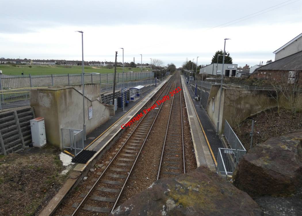
Approaching the station, the Carrickfergus Harbour branch diverged on the Up side. Opened in 1887, the siding was a nominally independent company, in later years colloquially known as the "Halfpenny Farthing" railway, due to a local rate being struck to maintain it. It closed in 1957. There was a signal cabin at the junction and a separate siding off the main one to serve a salt mine. There are two platforms at this station, at the Bleach Green Junction end of which, there is a road overbridge which bears the inscription "LMS(NCC) 1945". The platforms were extended in 2005 at the Carrickfergus end of the station.Photographs
Photo Gallery - Clipperstown Station
Google Street View - Clipperstown Station
Geograph.ie - Clipperstown Station (Link checked 28122013)
Geograph.ie - Clipperstown Station (Link checked 28122013)
Geograph.ie - Clipperstown Station (Link checked 28122013)
Geograph.ie - Train approaching Clipperstown Station (Link checked 28122013)
Geograph.ie - Clipperstown somersault signal (Link checked 28122013)
Geograph.ie - Clipperstown Station (Link checked 28122013)
Geograph.ie - Bridge at Clipperstown Station (Link checked 28122013)
Geograph.ie - Clipperstown Station (Link checked 28122013)
Links
Chronological Details
| Opened | Closed | Company | Name | Notes |
|---|---|---|---|---|
| 01/01/1925 | / /Open | LMS(NCC) | Clipperstown |
Geographical Details
| Section Start | Section Finish | Distance | Units | Milepost | Measured from |
|---|---|---|---|---|---|
| Bleach Green | Larne Harbour | 4.5 | Miles | 9.25 | York Road Station |