Site Description
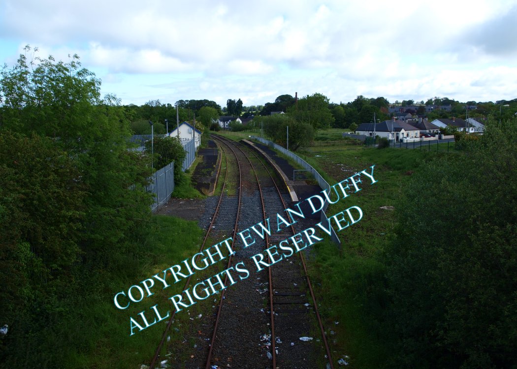
Reopened in 1974, having opened with the line, there are Up and Down platforms here. The through line serves the Down platform, on which is the partially demolished station building, with the Up platform being served by a loop installed in 1978. There is a car park on the Down side, at the entrance to which, is a clock tower. The former goods yard is at the Antrim end of the station on the Down side and contains a loading bank, derelict goods store and site of sidings. There was a siding into this for asbestos contaminated vehicles, which were taken to here by rail and hence to Crosshill Quarry a few miles away for burial in a water filled quarry. The siding was disconnected in 1986. North of the station, the line crosses a road and a river by means of a girder bridge. There was a trailing siding beyond this for a local mill (the chimney of which remains).Photographs
Photo Gallery - Crumlin Station
Google Street View - Crumlin Station
Links
Chronological Details
| Opened | Closed | Company | Name | Notes |
|---|---|---|---|---|
| 13/11/1871 | / / | |||
| 26/01/1974 | / / | NIR | Crumlin |
Geographical Details
| Section Start | Section Finish | Distance | Milepost | Measured from |
|---|---|---|---|---|
| Lisburn | Antrim | 12.51 | 11 | Knockmore Junction |