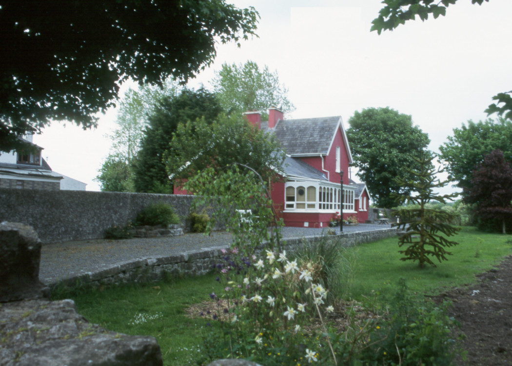
Site Description
Approaching the station, there was a trailing siding on the Up side, leading into the goods area with store. There was a water tank at this end of the station on the Down side. The single platform is on the same side with a level crossing at the Kilkee end of the station.Photographs
Photo Gallery - Corofin Station
Google Street View - Corofin Station
Links
Chronological Details
| Opened | Closed | Company | Name | Notes |
|---|---|---|---|---|
| 02/07/1887 | 31/01/1961 | WCR | Corofin |
Geographical Details
| Section Start | Section Finish | Distance | Units | Milepost | Measured from |
|---|---|---|---|---|---|
| Ennis | Kilkee | 8.75 | Miles | 8.75 | Ennis Station |