Site Description
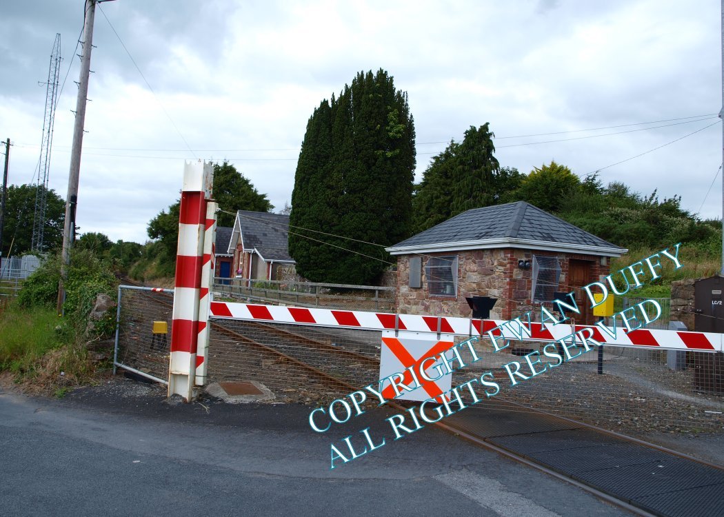
Level Crossing. The station building is on the Up side at this station on the Claremorris side of the crossing. The platform here, on the same side has been demolished. The station closed in 1963.There is a cut stone faced hut for the crossing keeper on the Up side of the line adjacent to the crossing.Photographs
Photo Gallery - Cratloe Station
Google Street View - Cratloe Station
Links
Chronological Details
| Opened | Closed | Company | Name | Notes |
|---|---|---|---|---|
| 17/01/1859 | 14/06/1963 | L&ER | Cratloe |
Geographical Details
| Section Start | Section Finish | Distance | Units | Milepost | Measured from |
|---|---|---|---|---|---|
| Limerick | Athenry | 9.71 | Miles | 9.75 | Limerick Station |