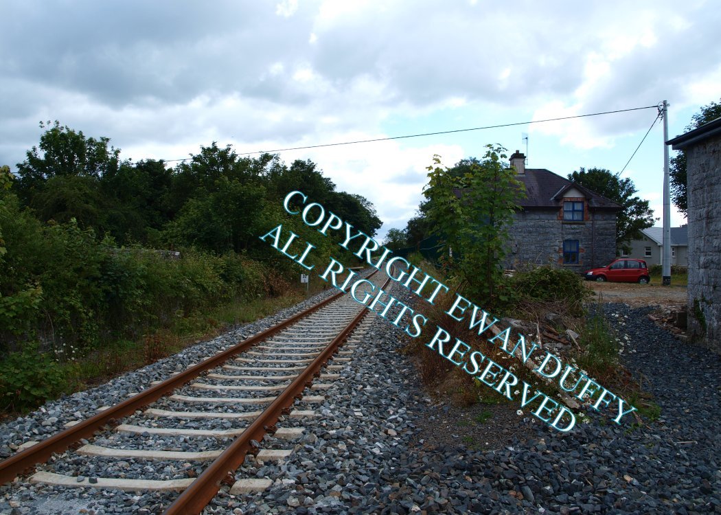
Site Description
There were both Up and Down platforms here with the station building on the latter. The goods store was behind the Down platform with the signal cabin on the same side at the Athenry end of the station.Photographs
Photo Gallery - Crusheen Station
Google Street View - Crusheen Station
Links
Chronological Details
| Opened | Closed | Company | Name | Notes |
|---|---|---|---|---|
| 15/09/1869 | 14/06/1963 | A&EJR | Crusheen |
Geographical Details
| Section Start | Section Finish | Distance | Units | Milepost | Measured from |
|---|---|---|---|---|---|
| Limerick | Athenry | 32.45 | Miles | 32.5 | Limerick Station |