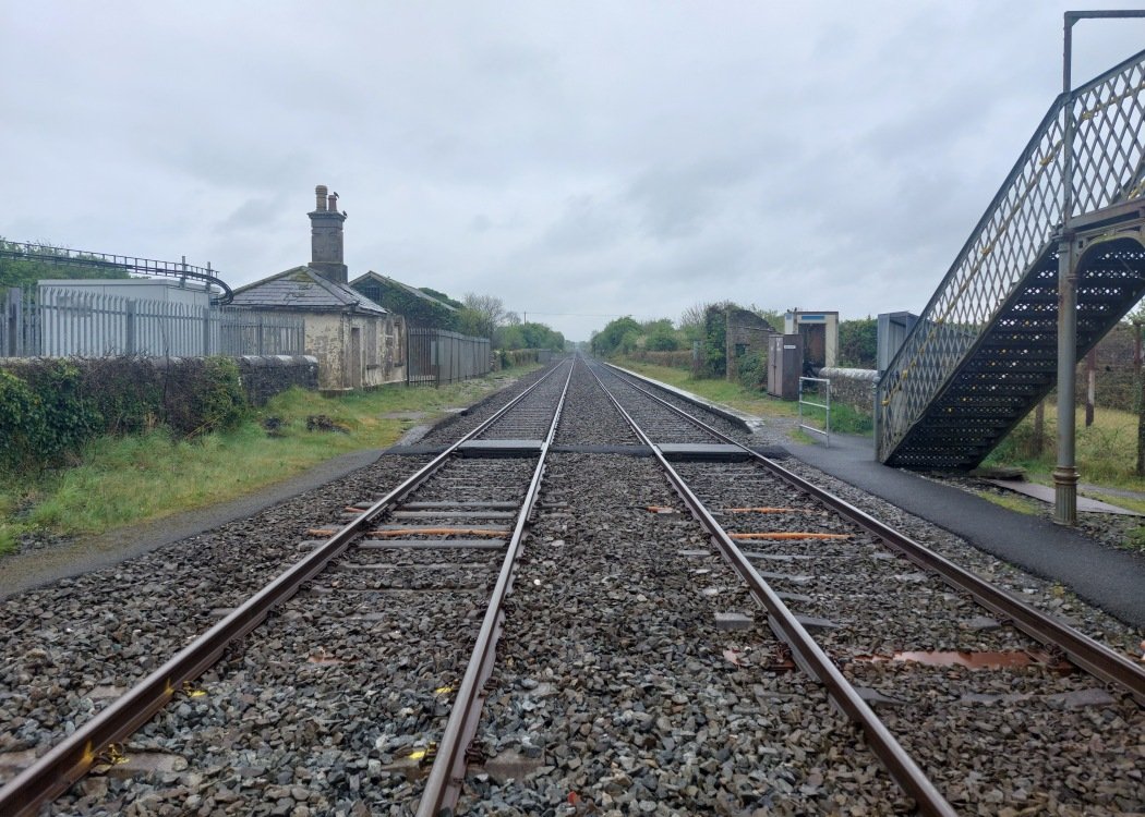
Site Description
Level crossing. On the Cork side of the crossing is Buttevant station, closed in 1977. The signal cabin, closed as block post in 1988, is between the crossing and the Up platform. It remains to control the level crossing. This is not the original cabin, which was on the opposite side of the line. There is a loading bank and the site of a siding behind the Up platform where there was previously a store. There is a radio aerial behind the Down platform. The remains of the station building are on this platform. The former goods area with store is also on this side. In later years, it was used as a ballast loading point. In 1980, a serious railway accident occurred here, when a Cork bound train was inadvertantly routed into the goods srea at high speed, resulting in the deaths of 18 people. There is a memorial outside the station to this event.Photographs
Photo Gallery - Buttevant Station
Google Street View - Buttevant Station
Links
Chronological Details
| Opened | Closed | Company | Name | Notes |
|---|---|---|---|---|
| 19/03/1849 | 05/03/1977 | GS&WR | Buttevant |
Geographical Details
| Section Start | Section Finish | Distance | Units | Milepost | Measured from |
|---|---|---|---|---|---|
| Heuston Station | Cork | 137.25 | Miles |