Site Description
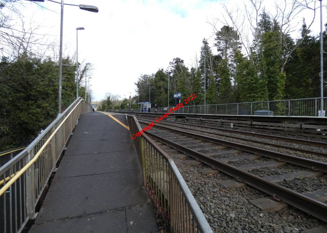
Opened in 1966 by the UTA to cater for proposed developments in the area, there are both Up and Down wooden platforms here. The platforms are connected by an attractive skew arch underbridge at the Belfast end of the station.Photographs
Photo Gallery - Seahill Station
Google Street View - Seahill Station
Geograph.ie - Seahill Station (Link checked 28072021)
Geograph.ie - Seahill Station (Link checked 28072021)
Links
Chronological Details
| Opened | Closed | Company | Name | Notes |
|---|---|---|---|---|
| 04/04/1966 | / /Open | UTA | Seahill |
Geographical Details
| Section Start | Section Finish | Distance | Milepost | Measured from |
|---|---|---|---|---|
| Belfast Central | Bangor | 9.47 | 121.5 | Connolly Station |