Site Description
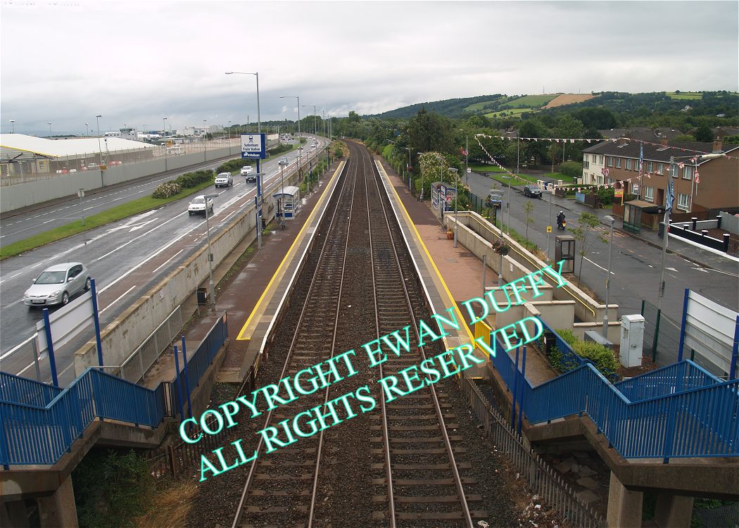
This two platformed station, opened in 1851, now serves the nearby Belfast Harbour Airport, which is on the Down side. There is a footbridge at the Belfast end of the station that gives access to same. Evidence of the platforms having been raised can be seen. On the end wall of a house on the Up side, can be seen a mural. Previous murals here include a war mural and one of William of Orange. There was a level crossing on the Belfast side of the station during WW2 for RAF use.Photographs
Photo Gallery - Sydenham Station
Google Street View - Sydenham Station
Geograph.ie - Sydenham Station (Link checked 27072021)
Geograph.ie - Sydenham Station (Link checked 27072021)
Geograph.ie - Sydenham Station (Link checked 27072021)
Geograph.ie - Sydenham Station (Link checked 27072021)
Geograph.ie - Sydenham Station (Link checked 27072021)
Geograph.ie - Sydenham Station (Link checked 27072021)
Geograph.ie - Sydenham Station (Link checked 27072021)
Geograph.ie - Sydenham Station (Link checked 27072021)
Geograph.ie - Sydenham Station (Link checked 27072021)
Geograph.ie - Sydenham Station (Link checked 27072021)
Links
Chronological Details
Geographical Details
| Section Start | Section Finish | Distance | Milepost | Measured from |
|---|---|---|---|---|
| Belfast Central | Bangor | 3.66 | 115.75 | Connolly Station |