Site Description
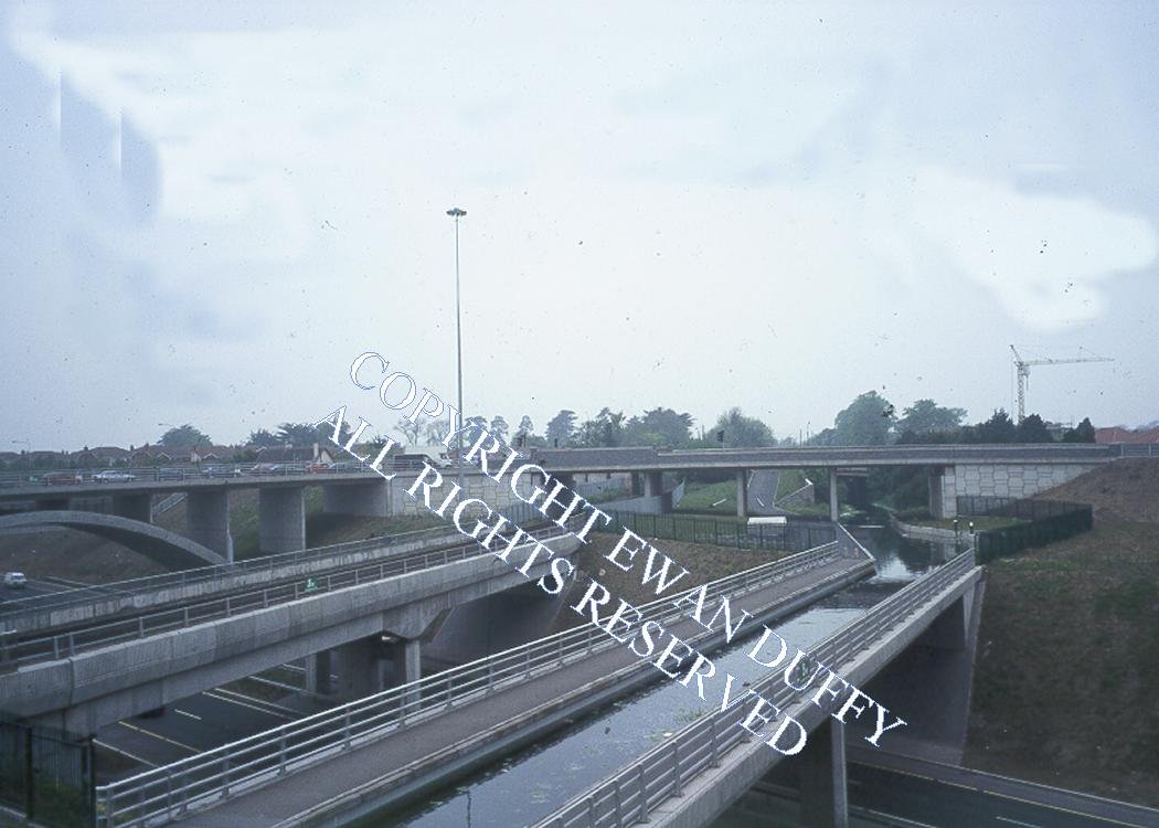
Nothing remains of this station today due to a deviation of the line here during the construction of the Northern cross section of the M50 motorway, to allow for the building of a viaduct to carry the line over this road. The deviation was in place from the Autumn of 1993 until October 1994. The Royal Canal is carried on an adjacent aqueduct. The station, which closed at the end of 1933, was at the Sligo end of the viaduct and had two platforms with the station building on the Up side. There was a level crossing at the same end of the station until 1875 when a bridge was erected, as it was held that the former needed four intelligent men to operate it safely! Also at this end on the Up side was a siding to a mill.Photographs
Photo Gallery - Blanchardstown Station
Google Street View - Blanchardstown Station
Links
Chronological Details
Geographical Details
| Section Start | Section Finish | Distance | Units | Milepost | Measured from |
|---|---|---|---|---|---|
| Connolly Station | Sligo | 5.94 | Miles | 4.5 | Broadstone Station |