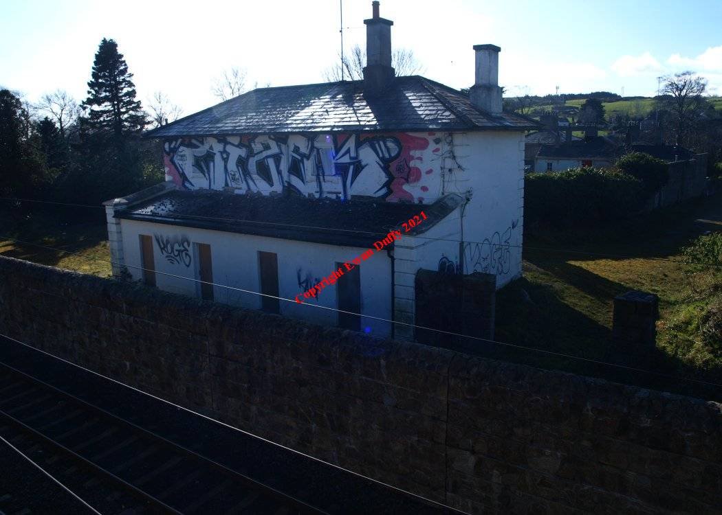
Site Description
There were both Up and Down platforms here with the station building on the Up side. There was a water tower on the same side at the Wexford end of the station. The modern day Carrickmines LUAS stop is south of the station.Photographs
Photo Gallery - Carrickmines Station
Google Street View - Carrickmines Station
Links
Chronological Details
| Opened | Closed | Company | Name | Notes |
|---|---|---|---|---|
| 10/07/1854 | 31/12/1958 | D&WR | Carrickmines | Reduced to a halt under Foxrock Dec 1951 |
Geographical Details
| Section Start | Section Finish | Distance | Units | Milepost | Measured from |
|---|---|---|---|---|---|
| Harcourt Street | Shanganagh Junction | 7.25 | Miles | 7.25 | Harcourt Street Station |