Site Description
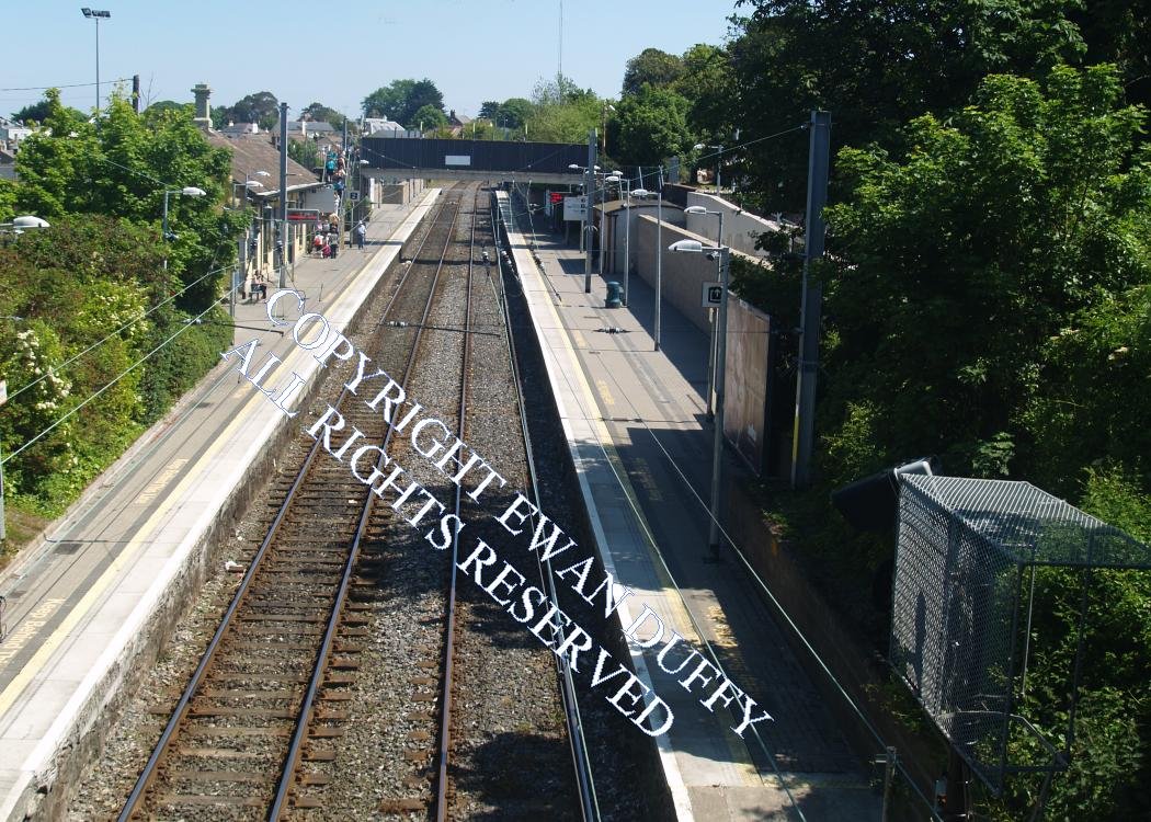
Approaching the station, there is a facing and a trailing crossover. There are both Up and Down platforms, with the station building on the latter, immediately beyond which is the car park, occupying the site of the former goods area. A footbridge, which also carries a public right of way, is on the Rosslare side of the station building and gives access to the Up platform. There is a shelter at the end of this. There is also ramp access to this platform. On the same side is the signal interlocking and radio aerial.Photographs
Photo Gallery - Dalkey Station
Google Street View - Dalkey Station
Geograph.ie - Dalkey Station (Link checked 28072021)
Links
Dictionary of Irish Architects - Dalkey Station (Link checked 28072021)
Irish Rail Station Information - Dalkey Station (Link checked 28072021)
Chronological Details
| Opened | Closed | Company | Name | Notes |
|---|---|---|---|---|
| 10/07/1854 | / /Open | D&WR |
Geographical Details
| Section Start | Section Finish | Distance | Units | Milepost | Measured from |
|---|---|---|---|---|---|
| Connolly Station | Rosslare Europort | 9.06 | Miles | 8 | Pearse Station |