Site Description
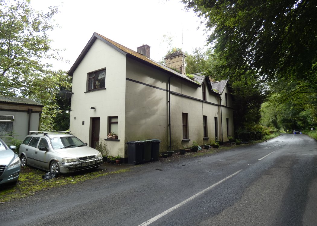
This was the second of two stations to have served the area (the first was further east and closed in 1870). There was a single platform on the Down side with a loop and loading bank on the Up side. The former stationmaster's house remains, having been sold by the GNRB to the last stationmaster on the line's closure.Photographs
Photo Gallery - Castlecaldwell Station
Google Street View - Castlecaldwell Station
Castelcaldwell Station photos - Gabriel O'Connor (Link checked 21042023)
Links
Chronological Details
| Opened | Closed | Company | Name | Notes |
|---|---|---|---|---|
| / /1875 | 30/09/1957 | EB&SR | Castlecaldwell |
Geographical Details
| Section Start | Section Finish | Distance | Milepost | Measured from |
|---|---|---|---|---|
| Bundoran Junction | Bundoran | 22.75 | 22.75 | Bundoran Junction |