www.industrialheritageireland.info

Industrial Heritage Gazetteer

Drumadravy Station
County Fermanagh
OS Map Grid Reference H 2048358913
Latitude 54.4781052 Longitude -7.6839243
Last Visit Date 19/08/2023


View Larger Map


Site Description

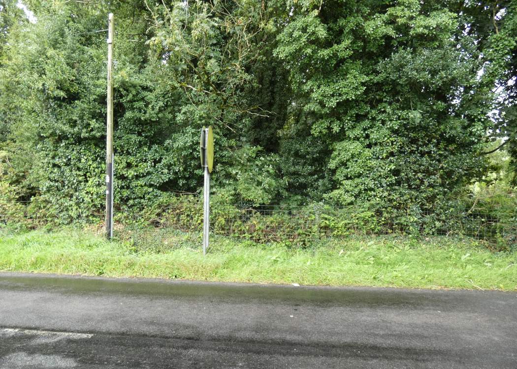
Drumadravy Station was a private station between Irvinestown and Kesh. The site is heavily overgrown and no trace is obvious. It was opposite the first modern house

Photographs


Photo Gallery - Drumadravy Station
Google Street View - Drumadravy Station

Links


Chronological Details

Geographical Details

Section StartSection FinishDistanceMilepostMeasured from
Bundoran Junction Bundoran 6.25 6.25 Bundoran Junction

Site Navigation


Return to Map10
Return to Map15
Return to Map16

Footnotes

COPYRIGHT NOTICE

COPYRIGHT EWAN DUFFY 2010 - 2018: ALL RIGHTS RESERVED. COPYRIGHT SUBSISTS IN THE CONTENT OF THIS PAGE. YOU MAY NOT SAVE A COPY OF THIS AND/OR REPRODUCE THIS IN ANY PUBLICATION AND/OR ON ANY WEBSITE WITHOUT THE EXPRESS WRITTEN CONSENT OF EWAN DUFFY. STANDARD CHARGE FOR REPRODUCTION IS EUR100,000.00