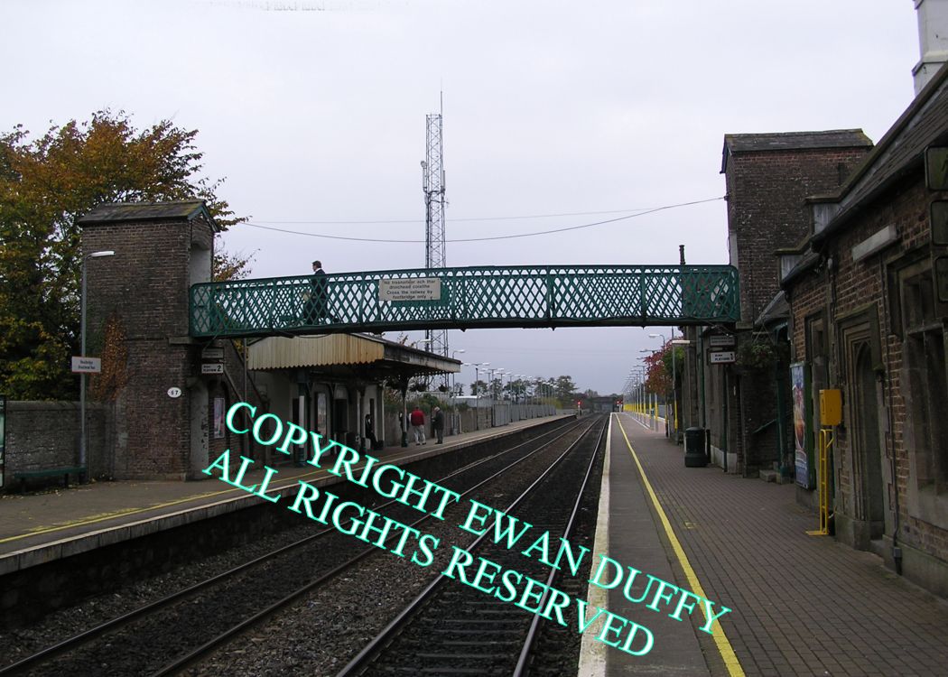
Site Description
Signal interlocking - CY. This and the radio aerial are on the disused loading bank on the Up side behind the platform. The main station buildings are on the Down platform with a water tank on top of the station building. The goods area was on the Down side before the station and contained a goods store and sidings - the former was destroyed by fire in 1994 and demolished. The site was subsequently levelled and part of it given over to a car park and later, a bay platform for Dublin bound traffic. There is also an Up platform on which there is a waiting room and canopy. Leaving the station, there was previously a loading bank on each side of the line, both of which were served by a siding. There is a public park, complete with lake on the Down side beyond the station.Photographs
Photo Gallery - Newbridge Station
Google Street View - Newbridge Station
Geograph.ie - Newbridge Station (Link checked 26072021)
Geograph.ie - Newbridge Station (Link checked 26072021)
Links
Buildings of Ireland - Newbridge Station (Link checked 26072021)
Irish Rail Station Information - Newbridge (Link checked 26072021)
Chronological Details
| Opened | Closed | Company | Name | Notes |
|---|---|---|---|---|
| 04/08/1846 | / /Open | GS&WR | Newbridge |
Geographical Details
| Section Start | Section Finish | Distance | Units | Milepost | Measured from |
|---|---|---|---|---|---|
| Heuston Station | Cork | 25 | Miles | 25 | Heuston Station |