Site Description
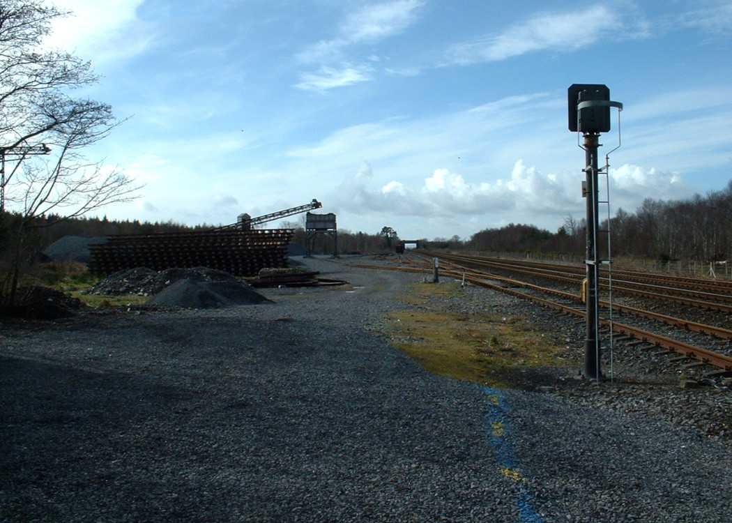
Signal interlocking - LF. There are sidings and a ballast hopper that served this former railway owned ballast quarry on the Down side. The quarry ceased to be used for railway purposes in 1993, however, activity at this point can still be seen as the quarry is in private ownership. There was a station on the Cork side of the accommodation crossing, but this closed in 1963. It was originally a private station for Lord Castleton. There is a loading bank and store on the Down side.Photographs
Google Street View - Lisduff Station
Links
Chronological Details
Geographical Details
| Section Start | Section Finish | Distance | Milepost | Measured from |
|---|---|---|---|---|
| Heuston Station | Cork | 72.5 | 72.5 | Heuston Station |