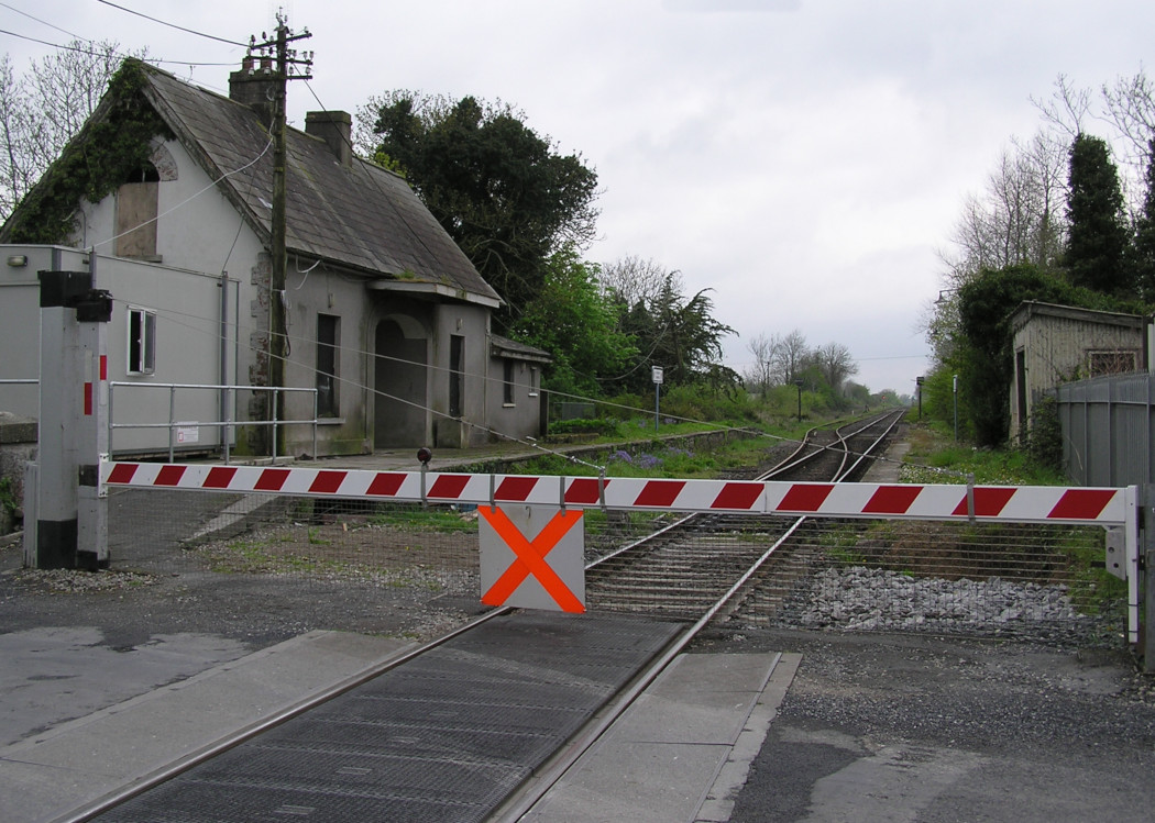
Site Description
Signal interlocking. The remains of both the Up and Down platforms exist here, with the disused station builidng on the latter. For many years after the cessation of regular services in 1976, Dromkeen was officially available for use by special trains and was equipped with nameboards on both platforms, even though that on the Up side was no longer rail accessible. There is a crossing loop and trailing siding here on the Limerick side of the level crossing. There was previously a signal cabin at the Rosslare end of the Up platform. Beyond the crossing on the same side is the signal interlocking and radio aerial.Photographs
Photo Gallery - Dromkeen Station
Google Street View - Dromkeen Station
Links
Chronological Details
| Opened | Closed | Company | Name | Notes |
|---|---|---|---|---|
| / / | 05/09/1976 | W&LR | Dromkeen | Opened in 1850s |
Geographical Details
| Section Start | Section Finish | Distance | Units | Milepost | Measured from |
|---|---|---|---|---|---|
| Limerick | Waterford | 11.62 | Miles | 11.75 | Limerick Station |