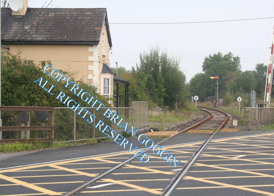
Site Description
4 barrier level crossing. The road layout here has been changed to give a more straight run across the railway. The original crossing is to the south of the current crossing. There was a single platformed station here on the Up side on the Ballybrophy side of the crossing until 1963. The station building is on this. There is the site of a siding and a loading bank on the Down side. This crossing and the next one are protected by common colour light signals and both crossings must be closed before the signals can be cleared.Photographs
Photo Gallery - Lisnagry Station
Google Street View - Lisnagry Station
Links
Chronological Details
| Opened | Closed | Company | Name | Notes |
|---|---|---|---|---|
| / /1859 | 31/05/1864 | LC&KR | Nenagh Road | |
| / /1866 | /11/1878 | W&LR | Nenagh Road | Renamed |
| /11/1878 | 07/09/1963 | W&LR | Lisnagry |
Geographical Details
| Section Start | Section Finish | Distance | Units | Milepost | Measured from |
|---|---|---|---|---|---|
| Ballybrophy | Limerick Colbert | 48.75 | Miles | 48.75 | Ballybrophy Station |