Site Description
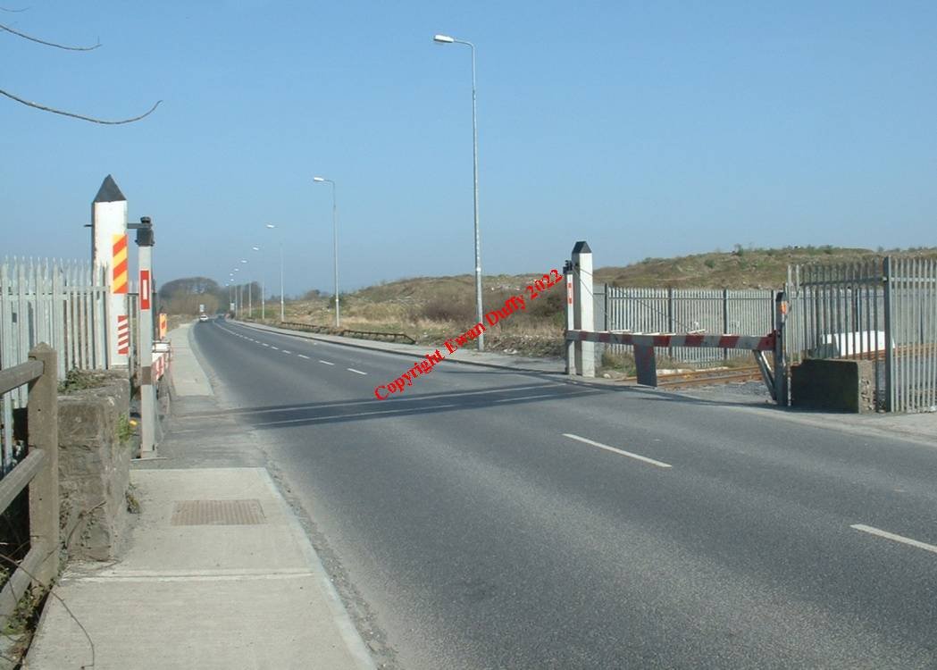
Level Crossing. There was a station and block post on the Claremorris side of the level crossing until 1963. No trace of any facilties remain.Photographs
Photo Gallery - Longpavement Station
Google Street View - Longpavement Station
Links
Chronological Details
| Opened | Closed | Company | Name | Notes |
|---|---|---|---|---|
| 17/01/1859 | 14/06/1963 | L&ER | Longpavement |
Geographical Details
| Section Start | Section Finish | Distance | Units | Milepost | Measured from |
|---|---|---|---|---|---|
| Limerick | Athenry | 3.91 | Miles | 4 | Limerick Station |