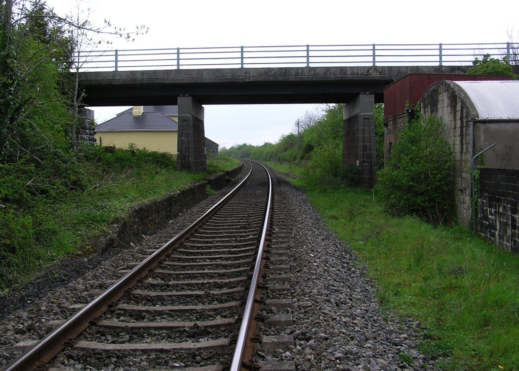
Site Description
There were both Up and Down platforms at this station that closed in 1963, although no trace of the former now exists. The station building, now a private residence is on the Down side. The former goods area is on the same side at the Waterford end of the station and contains a store, loading bank, the site of a siding and cattle pens. The store has been adaptively reused as accommodation. There is a water tower on the Up side at the Limerick end of the station.Photographs
Photo Gallery - Pallas Station
Google Street View - Pallas Station
Links
Chronological Details
| Opened | Closed | Company | Name | Notes |
|---|---|---|---|---|
| 09/05/1848 | 07/09/1963 | W&LR | Pallas | Opened to goods traffic on 24 April 1848 |
Geographical Details
| Section Start | Section Finish | Distance | Units | Milepost | Measured from |
|---|---|---|---|---|---|
| Limerick | Waterford | 14.12 | Miles | 14 | Limerick Station |