Site Description
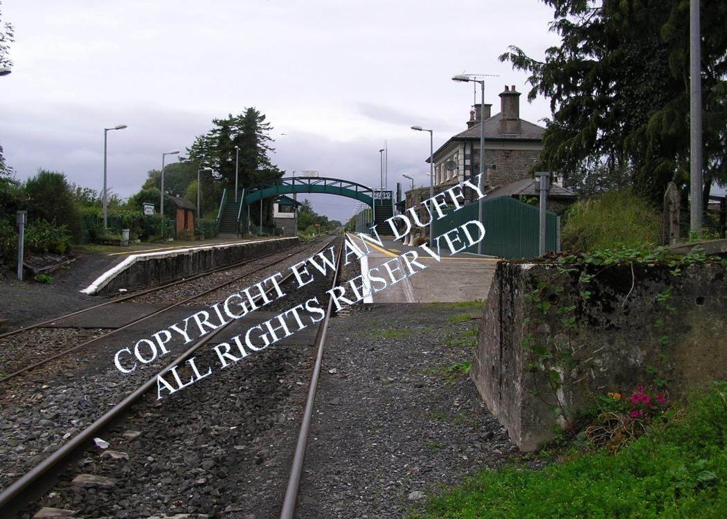
Approaching the station, there was previously a trailing siding serving a loading bank on the Up side. The running line serves the Up platform on which is the station building. The Down platform is served by a loop. A modern, lift accessible footbridge conects the two platforms, a job previously done by the MGWR era footbridge. The signal cabin was at the Sligo end of the station on the Down side and bore a nameboard that stated "EDGEWORTHSTOWN SIGNAL CABIN". The goods area was on the Up side and contained a goods store and two loading banks. With the exception of one of the latter, which remains in the car park that occupies the site, all other traces of these features have been obliterated.Photographs
Photo Gallery - Edgeworthstown Station
Google Street View - Edgeworthstown Station
Geograph.ie - Edgeworthstown Station (Link checked 22072021)
Geograph.ie - Edgeworthstown Station (Link checked 22072021)
Geograph.ie - Edgeworthstown Station (Link checked 22072021)
Links
Archiseek.com - Edgeworthstown Station (Link checked 22072021)
Irish Rail Station Information - Edgeworthstown Station (Link checked 22072021)
Chronological Details
| Opened | Closed | Company | Name | Notes |
|---|---|---|---|---|
| 14/12/1855 | / / | MGWR | Edgeworthstown | Renamed Mostrim |
| 20/05/1996 | / /Open | IR | Edgeworthstown | Previously Mostrim |
Geographical Details
| Section Start | Section Finish | Distance | Units | Milepost | Measured from |
|---|---|---|---|---|---|
| Connolly Station | Sligo | 69.28 | Miles | 67.75 | Broadstone Station |