Site Description
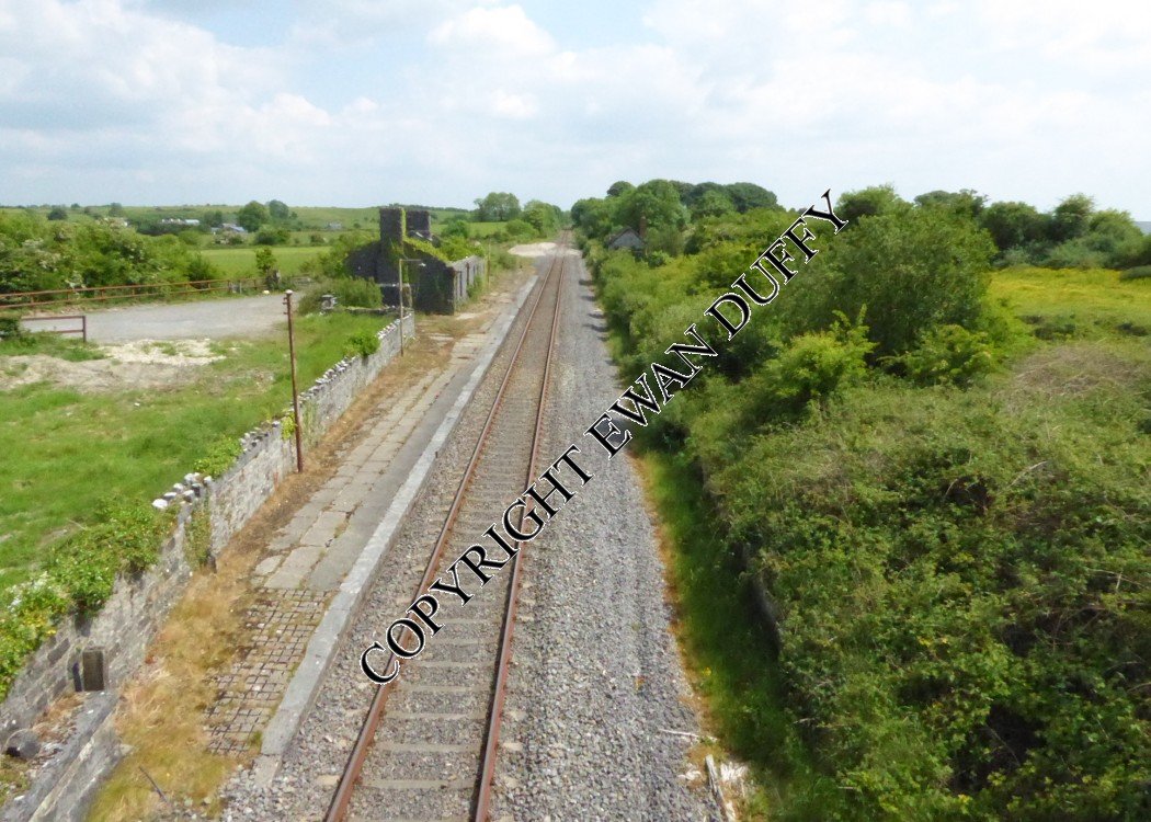
There is one platform on the Up side here, with the running line serving it. There is a loading bank on the Down side, set down into which is the signal cabin, a block post until 1988. This was served by a loop. Beyond the road overbridge at the Westport end of the station, there is another loading bank on the Down side. The station closed in 1963. The derelict station buildings are on the Up platform. The goods area was on the same side approaching the station.Photographs
Photo Gallery - Balla Station
Google Street View - Balla Station
Geograph.ie Balla Station (Link checked 07092013)
Links
Mayo Alive - delivery of first car in Mayo to Balla Station (Link checked 07092013)
Chronological Details
| Opened | Closed | Company | Name | Notes |
|---|---|---|---|---|
| 17/12/1862 | 14/06/1963 | GN&WR | Balla |
Geographical Details
| Section Start | Section Finish | Distance | Units | Milepost | Measured from |
|---|---|---|---|---|---|
| Athlone West | Westport | 64.37 | Miles | 142.5 | Broadstone Station |