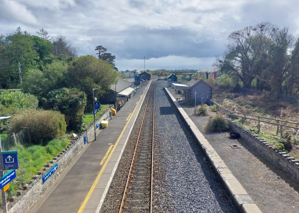
Site Description
The running line serves the Up platform here, on which is the station building and a water tower. There was previously a headshunt at the Athlone end of the station which gave access to two sidings, one either side of a loading bank. This area is now a car park with the former goods store at the Athlone end of the station. The former signal cabin, a block post until 1988, is on the Down platform, which is disused. There is also a shelter on this platform.Photographs
Photo Gallery - Castlebar Station
Google Street View - Castlebar Station
Geograph.ie - Train at Castlebar Station (Link checked 21072021)
Links
Irish Rail Station Information - Castlebar Station (Link checked 21072021)
Chronological Details
| Opened | Closed | Company | Name | Notes |
|---|---|---|---|---|
| 17/12/1862 | 16/04/2007 | GN&WR | Castlebar | Line closed for re-signalling |
| 04/05/2007 | / /Open | IR | Castlebar |
Geographical Details
| Section Start | Section Finish | Distance | Units | Milepost | Measured from |
|---|---|---|---|---|---|
| Athlone West | Westport | 71.94 | Miles | 150 | Broadstone Station |