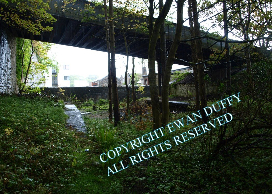
Site Description
There were both Up and Down platforms here with the station building on the Down side. The latter remains in alternative use. The former goods store is on the same side beside the road overbridge spanning the station and is in use as a church. There was signal cabin on the Up side at the Achill end of the station. At the Westport end of the station, there is an interesting road overbridge, which crosses the line at a rising angle. Underneath the bridge, a short section of both platforms remain.Photographs
Photo Gallery - Newport Station
Google Street View - Newport Station
Links
Chronological Details
| Opened | Closed | Company | Name | Notes |
|---|---|---|---|---|
| 01/02/1894 | / /1937 | MGWR | Newport |
Geographical Details
| Section Start | Section Finish | Distance | Units | Milepost | Measured from |
|---|---|---|---|---|---|
| Westport | Achill | 7.75 | Miles | 7.75 | Westport Station |