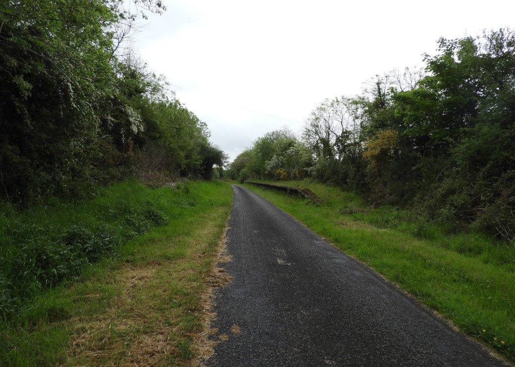
Site Description
Approaching the station, there was a three way turnout with one line forming a loop on the Down side and another a siding on the Up side with the running line continuing straight ahead. The station building was on the Up side, with the signal cabin beside it. Culloville was one of two stations in the Republic of Ireland where the town ostensibly served was in Northern Ireland (the other being Clady on the CDRJC).Photographs
Photo Gallery - Culloville Station
Google Street View - Culloville Station
Links
Chronological Details
Geographical Details
| Section Start | Section Finish | Distance | Units | Milepost | Measured from |
|---|---|---|---|---|---|
| Dundalk | Clones | 12 | Miles | 12 | Dundalk Station |