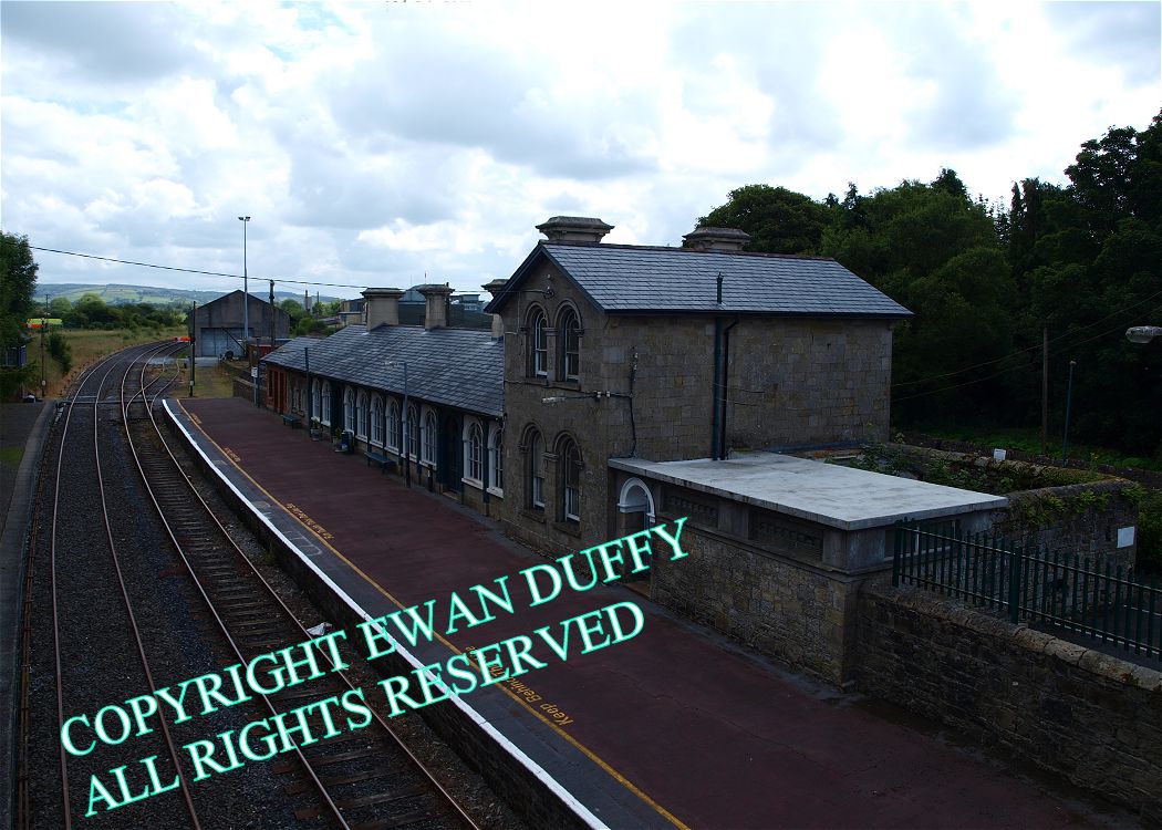
Site Description
The derelict goods area, comprising a single loop siding is on the Down side before the station. This area contains a store, disused loading bank and gantry. There was also a siding to Roscrea Meat Factory, but this was removed in 1982. Opposite, there is another disused loading bank. There is also a water tower at this end of the station. The signal cabin is at the Ballybrophy end on the Up side, the station building, an impressive piece of architecture, is on the Down platform. Roscrea was the junction station for the line to Birr and its extension to Portumna Bridge. This latter closed in 1878, the former in 1962. This branch ran parallel to the mainline for approximately 3/4 mile before diverging on the Up side.Photographs
Photo Gallery - Roscrea Station
Google Street View - Roscrea Station
Geograph.ie - Roscrea Station (Link checked 16092013)
Links
NIAH - Roscrea Station (Link checked 16092013)
Irish Rail Station Information - Roscrea Station (Link checked 16092013)
Chronological Details
| Opened | Closed | Company | Name | Notes |
|---|---|---|---|---|
| 19/10/1857 | / /Open | GS&WR | Roscrea |
Geographical Details
| Section Start | Section Finish | Distance | Units | Milepost | Measured from |
|---|---|---|---|---|---|
| Ballybrophy | Limerick Colbert | 10.05 | Miles | 10 | Ballybrophy Station |