Site Description
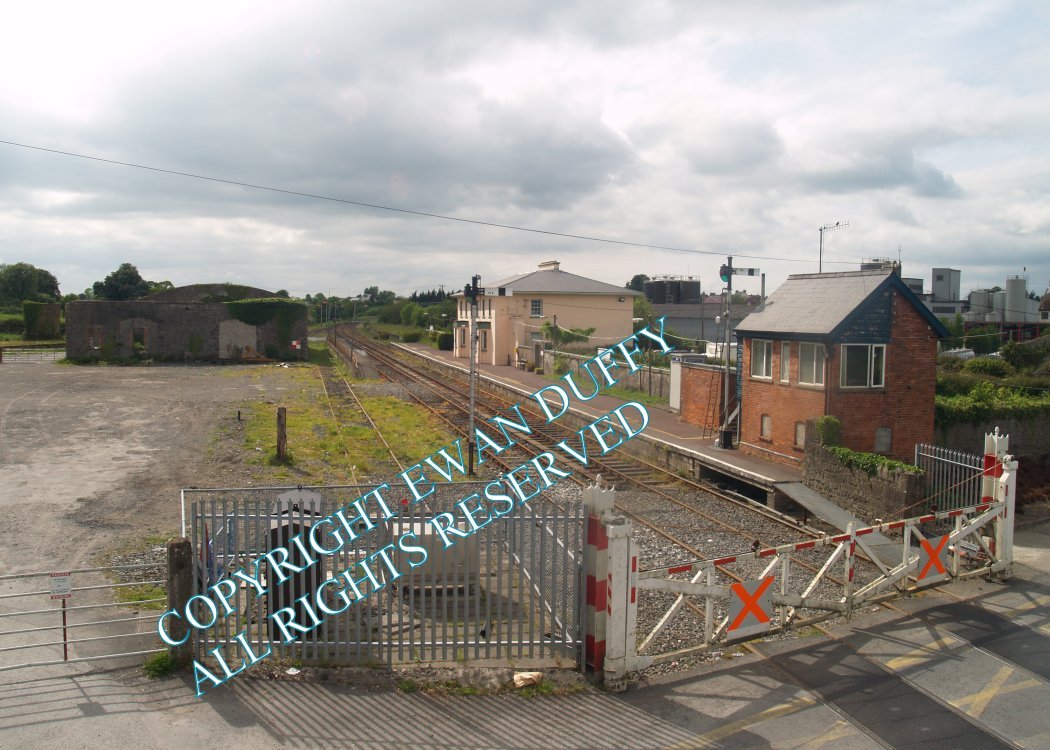
Approaching the station, there is a trailing siding on the Up side off the loop through the station. Historically, there was a siding on the Down side that served a now disused loading bank. The station building is on the single platform on the Down side, as is the signal cabin which is at the Rosslare end of the station, beyond which there is a level crossing. On the Waterford side of the crossing, there is an external footbridge. On the Up side of the station is the former goods area, containing a derelict, roofless goods store, loading bank, site of sidings and a water tower.Photographs
Photo Gallery - Tipperary Station
Google Street View - Tipperary Station
Geograph.ie - Tipperary Station (Link checked 30122013)
Links
Irish Rail Station Information - Tipperary Town (Link checked 30122013)
Chronological Details
| Opened | Closed | Company | Name | Notes |
|---|---|---|---|---|
| 09/05/1848 | / /Open | W&LR | Tipperary |
Geographical Details
| Section Start | Section Finish | Distance | Units | Milepost | Measured from |
|---|---|---|---|---|---|
| Limerick | Waterford | 24.81 | Miles | 24.75 | Limerick Station |