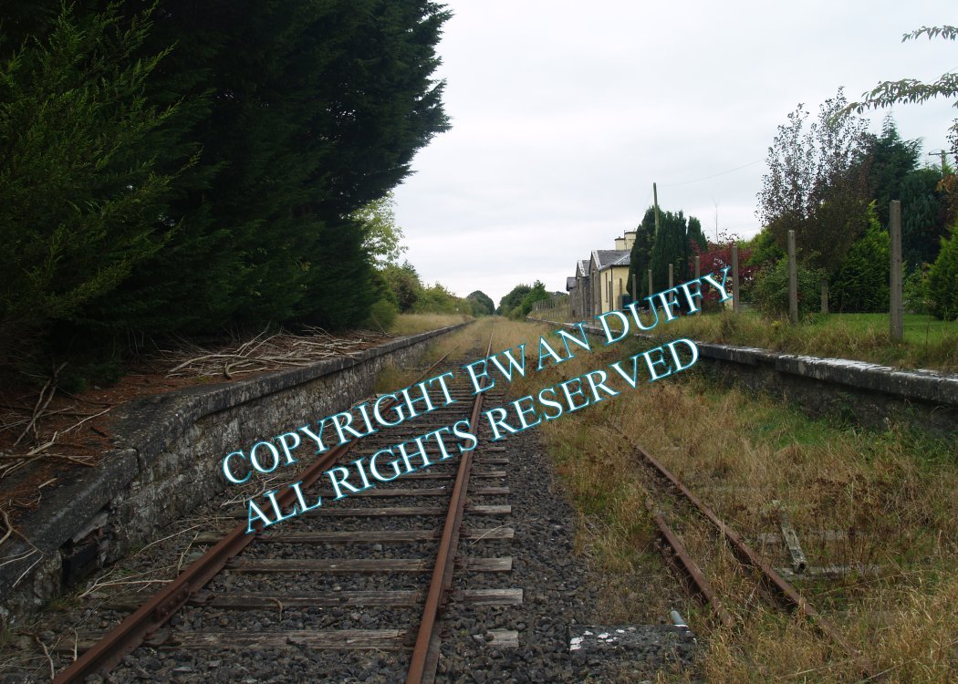
Site Description
Level Crossing. Approaching the station, there was a siding on the Up side which trailed into the disconnected loop on the same side. The station closed in 1963, the signal cabin, closed as a block post in 1985 and is on the Down side immediately before the level crossing for which it remained to control. The station was on the Galway side of the crossing. This has both Up and Down platforms, with the station building on the former. There is a shelter on the Down platform. There were goods sidings, each with a loading bank at the Galway end of the station on both sides of the line. The main goods area, complete with store, was on the Up side.Photographs
Photo Gallery - Castletown Station
Google Street View - Castletown Station
Links
Chronological Details
| Opened | Closed | Company | Name | Notes |
|---|---|---|---|---|
| 01/08/1851 | 14/06/1963 | MGWR |
Geographical Details
| Section Start | Section Finish | Distance | Units | Milepost | Measured from |
|---|---|---|---|---|---|
| Mullingar | Athlone Midland | 8.06 | Miles | 58.25 | Broadstone Station |