Site Description
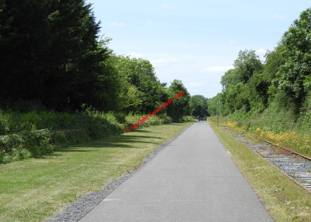
Open in 1852, there are two platforms here, both on the Down side which were served by a siding off the mainline. This station was used for race course traffic to the long closed race course. There was a signal cabin here until 1929.Photographs
Photo Gallery - Newbrook Station
Google Street View - Newbrook Station
Links
Chronological Details
| Opened | Closed | Company | Name | Notes |
|---|---|---|---|---|
| 12/11/1852 | / /1929 | MGWR | Closed 1929 |
Geographical Details
| Section Start | Section Finish | Distance | Units | Milepost | Measured from |
|---|---|---|---|---|---|
| Mullingar | Athlone Midland | 1.29 | Miles | 51.5 | Broadstone Station |