Site Description
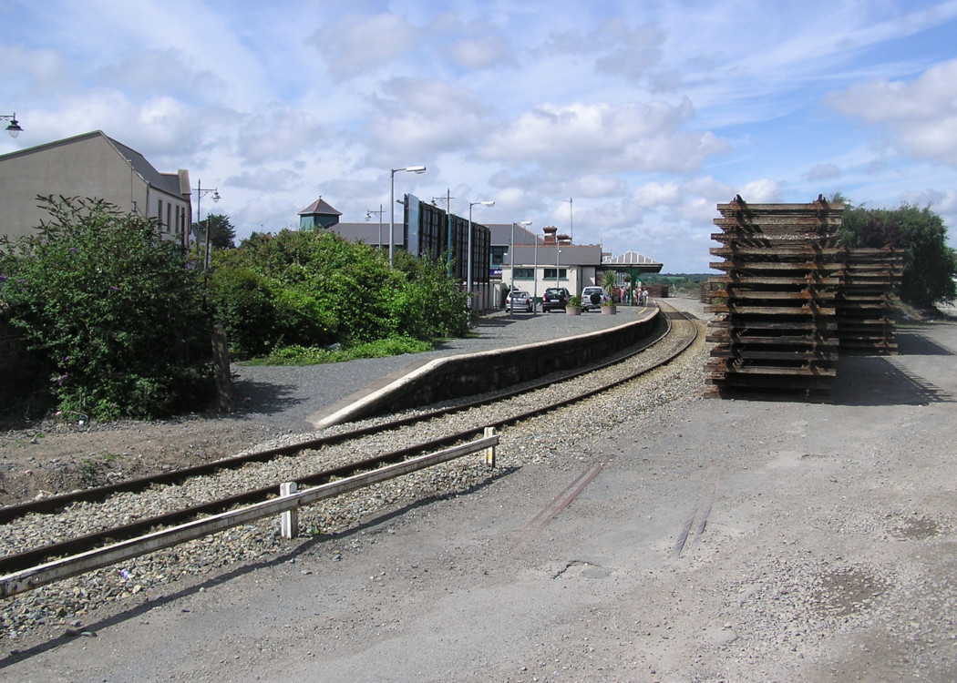
Approaching the station, there is a crossing loop which ends before the single platform here. The latter is on the Up side, upon which is the station building which contains a ticket office and waiting area. There is a plaque on the road frontage of the building commemorating the renaming of the station in 1966 in honour of Michael O'Hanrahan. The suffix is rarely, if ever used. The former goods area is on the Up side. The frame is located in the signal cabin at the Dublin end of the platform, which was previously a block post. The goods area contains three sidings, former goods store, a cement store, a disused tea store and a loading bank. Previously there was a turntable, the top of the filled in well of which can be seen and a water tower as well, of which no trace remains. There is an Automatic Open Level Crossing at the Rosslare end of the station. This was the southern extremity of the D&SER. The line then enters Wexford Quay, which is open, the sea on one side and the public road on the other. There is a 5 mph speed limit here. At the Rosslare end of the quay, there is a circular pier called "The Crescent". There was formerly a lifting bridge to allow access to this, but this is no longer possible and its sole function now is to keep the statue of John Barry, founder of the US Navy at the waterfront. There was previously a long siding on the seaward side of the quay to assist in the transfer of cargo to/from boats. There are numerous buildings of industrial and architectural merit along the quayside.Photographs
Photo Gallery - Wexford Station
Google Street View - Wexford Station
Geograph.ie - Crossing south of Wexford Station (Link checked 23122013)
Geograph.ie - Wexford Station (Link checked 23122013)
Links
Irish Rail Station Information - Wexford (Link checked 23122013)
Chronological Details
Geographical Details
| Section Start | Section Finish | Distance | Milepost | Measured from |
|---|---|---|---|---|
| Rosslare Strand | Wexford | 89.18 | 6.2 | Rosslare Strand |
| Connolly Station | Rosslare Europort | 94.99 | 92.75 | Harcourt Street Station |