www.industrialheritageireland.info
Canal Gazetteer Photos
Teehill
County Monaghan
Latitude
54.173937
Longitude
-7.2402719
Date taken:
30/06/2024
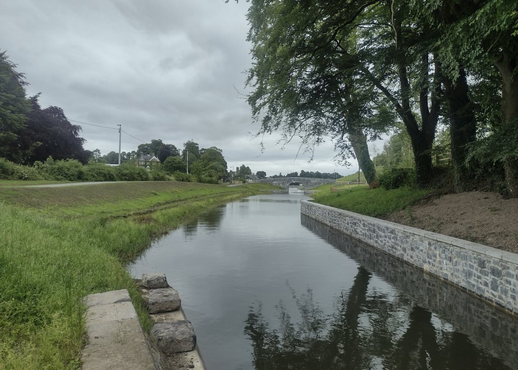
Looking towards Charlemont and the new marina, the retaining wall for the navigation channel is on the right.
COPYRIGHT EWAN DUFFY 2010 - : ALL RIGHTS RESERVED. COPYRIGHT SUBSISTS IN THE CONTENT OF
AND IMAGES ON THIS PAGE AS WELL AS THE IMAGES LINKED TO. YOU MAY NOT SAVE A COPY OF THIS PAGE/IMAGE(S) AND/OR REPRODUCE THESE IN ANY
PUBLICATION AND/OR ON ANY WEBSITE WITHOUT THE EXPRESS WRITTEN CONSENT OF EWAN DUFFY. THE STANDARD CHARGE FOR RE-PRODUCTION IS
EUR100,000.00