www.industrialheritageireland.info
Railway Gazetteer Photos
Malahide
County Dublin
Latitude
53.451257
Longitude
-6.1565199
Date taken:
02/05/1998
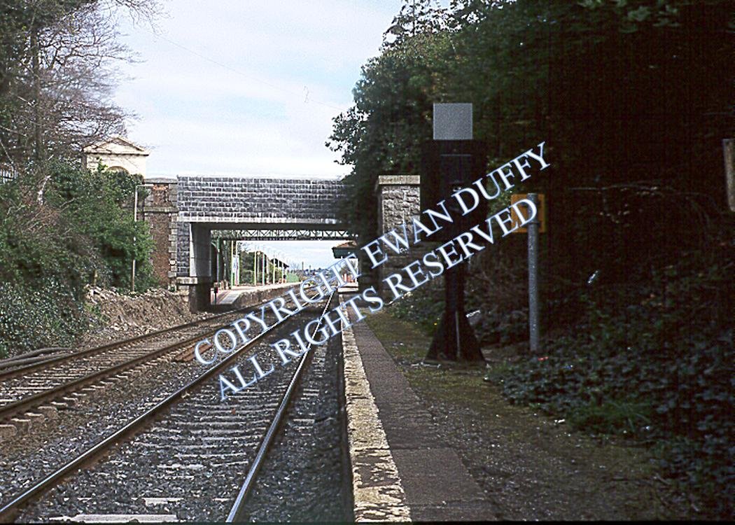
Taken from the south end of the Up platform before it was removed, this is the station looking north toward Belfast. The original bridge has already
been destroyed by IR by the time this photo was taken.
COPYRIGHT EWAN DUFFY 2010 - : ALL RIGHTS RESERVED. COPYRIGHT SUBSISTS IN THE
CONTENT OF AND IMAGES ON THIS PAGE AS WELL AS THE IMAGES LINKED TO. YOU MAY NOT SAVE A COPY OF THIS PAGE/IMAGE(S) AND/OR
REPRODUCE THESE IN ANY PUBLICATION AND/OR ON ANY WEBSITE WITHOUT THE EXPRESS WRITTEN CONSENT OF EWAN DUFFY. THE STANDARD
CHARGE FOR RE-PRODUCTION IS EUR100,000.00