www.industrialheritageireland.info
Railway Gazetteer Photos
Cahir
County Tipperary
Latitude
52.377865
Longitude
-7.9222128
Date taken:
11/10/2003
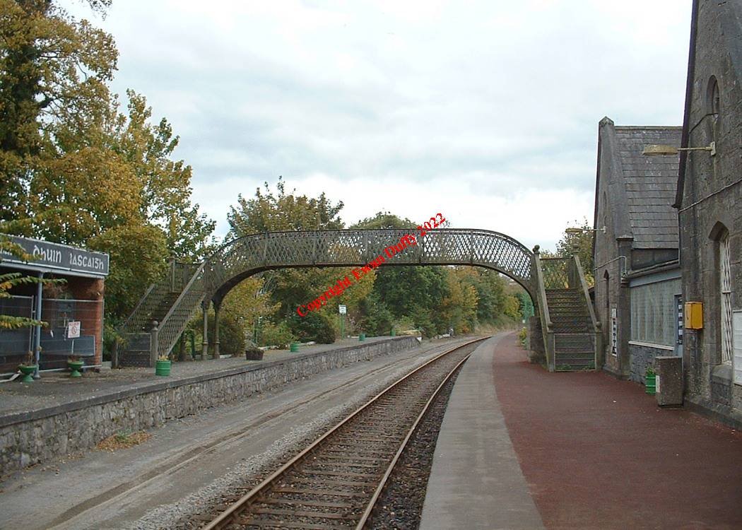
This GS&WR style footbridge connected the two platforms. With the removal of the loop at the station, the Down platform is no longer used. Part of
the station nameboard in old Irish can be seen on the left.
COPYRIGHT EWAN DUFFY 2010 - : ALL RIGHTS RESERVED. COPYRIGHT SUBSISTS IN THE
CONTENT OF AND IMAGES ON THIS PAGE AS WELL AS THE IMAGES LINKED TO. YOU MAY NOT SAVE A COPY OF THIS PAGE/IMAGE(S) AND/OR
REPRODUCE THESE IN ANY PUBLICATION AND/OR ON ANY WEBSITE WITHOUT THE EXPRESS WRITTEN CONSENT OF EWAN DUFFY. THE STANDARD
CHARGE FOR RE-PRODUCTION IS EUR100,000.00