www.industrialheritageireland.info
Railway Gazetteer Photos
Maynooth
County Kildare
Latitude
53.378074
Longitude
-6.5906864
Date taken:
01/07/2008
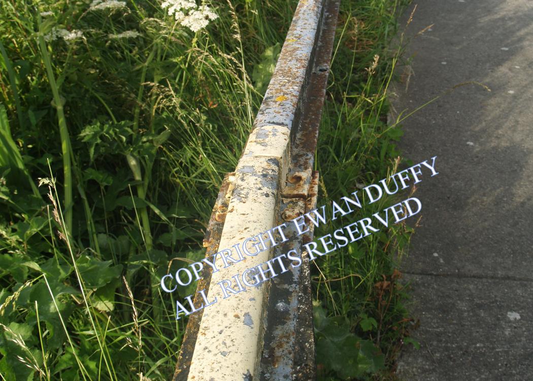
An early form of rail in use in Ireland was bridge rail - so called for its inverted "U" shape. Sections of this remain as a barrier between the car park
and Royal Canal at Maynooth station.
COPYRIGHT EWAN DUFFY 2010 - : ALL RIGHTS RESERVED. COPYRIGHT SUBSISTS IN THE
CONTENT OF AND IMAGES ON THIS PAGE AS WELL AS THE IMAGES LINKED TO. YOU MAY NOT SAVE A COPY OF THIS PAGE/IMAGE(S) AND/OR
REPRODUCE THESE IN ANY PUBLICATION AND/OR ON ANY WEBSITE WITHOUT THE EXPRESS WRITTEN CONSENT OF EWAN DUFFY. THE STANDARD
CHARGE FOR RE-PRODUCTION IS EUR100,000.00

