www.industrialheritageireland.info
Railway Gazetteer Photos
Booterstown
County Dublin
Latitude
53.310227
Longitude
-6.1955246
Date taken:
17/01/2026
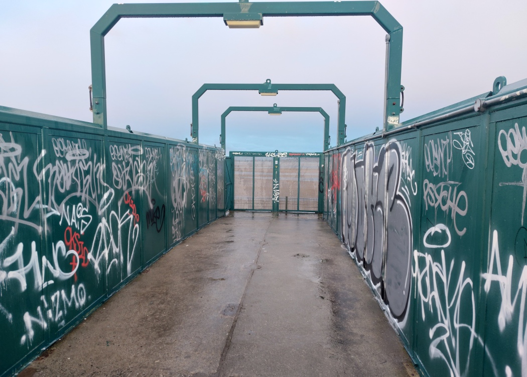
The footbridge was original split in two, with the passage on the left being for internal station use and that on the right being an external right of way.
With the construction of a new internal footbridge, the entire bridge is now an external right of way.
COPYRIGHT EWAN DUFFY 2010 - : ALL RIGHTS RESERVED. COPYRIGHT SUBSISTS IN THE
CONTENT OF AND IMAGES ON THIS PAGE AS WELL AS THE IMAGES LINKED TO. YOU MAY NOT SAVE A COPY OF THIS PAGE/IMAGE(S) AND/OR
REPRODUCE THESE IN ANY PUBLICATION AND/OR ON ANY WEBSITE WITHOUT THE EXPRESS WRITTEN CONSENT OF EWAN DUFFY. THE STANDARD
CHARGE FOR RE-PRODUCTION IS EUR100,000.00