I was up in South Ulster yesterday and the day before, doing a quick photographic update of the bridges/locks of the Ulster Canal. I didn’t manage to complete this as getting beyond Caledon on 12th July wasn’t possible, due to a 12th day demonstration in Killylea. A shout out to the PSNI officers manning the road block at Caledon who were bemused by this Dubliner telling them he didn’t know where he was going but was following instructions from Google!*
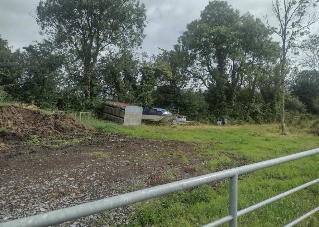
I plan to add the photos of the Ulster Canal to the site shortly. In advance of having this update to the site ready, below is a photo I took near to the end of the canal at Wattlebridge, of a boat on a trailer adjacent to the canalbed. I genuinely hope that this is the closest to the Ulster Canal this boat gets.
* The process I use in cases like this is I identify all sites I need to visit on a given day and download the latitude/longitude co-ordinates of these, in the right order, into a spreadsheet and copy/paste the co-ordinates in sequence into Googlemaps on my phone, to navigate from one to the other.