For the past while, I have working away in the background on version 2 of the Gazetteer and am happy to announce that this has now gone live, with the old version swapped out and the new version online.
Part of the reason that an upgrade has taken so long is that I insisted on ensuring that the underlying data to populate the webpages for each station was structured correctly in my Access database which I use to record the data and create the webpages. This had secondary advantages of uncovering some errors, which have been fixed in the course of the project and allowing me to setup my system to more efficiently create new or updated webpages.
Updates to the gazetteer include:
- 85 main maps instead of 65, allowing for a cleaner look
- Railway/canal based greenways are included*
- Primary rivers added
- The main canals have been added
- LUAS lines and stations added (webpages for these are in progress)
- The ability to add more detailed inset maps (a start has been made on this – see Monaghan Town for an example).
In addition to this, I have updated all the station sites with a latitude/longitude co-ordinate as more appropriate to the Googlemaps era than an Ordnance Survey Map. The OS grid reference remains as a secondary geo reference.
WHAT’S NEXT?
- Canal locks to be added and a webpage for each
- LUAS stations to get a webpage
- Inset maps to be improved on with main roads added to give better context
- Addition of opening/closing dates for all stations
- An active effort to visit the station locations that remain without a photo taken.
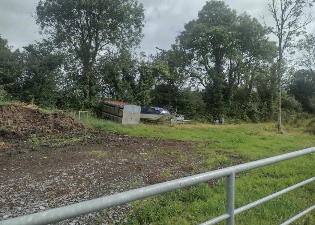
In relation to the latter, I have made a start on this, with recent weekend trips to Downpatrick and Derry enabling me to visit a large number of formerly un-visited stations in Counties Derry, Tyrone and Down. Now that I have gone live on the updated gazetteer, I can resume processing the photographs taken on these trips and get them online.
*This is something of a work in progress. The main greenways (e.g Waterford Dungarvan, Mullingar Athlone) are marked. Smaller sections of old railway now in use as a public walkway will be added if/when I become aware of them.